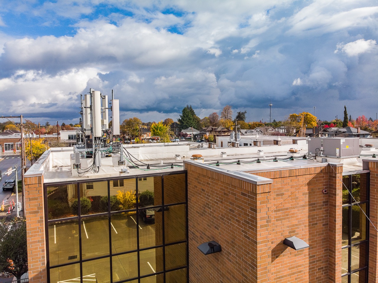
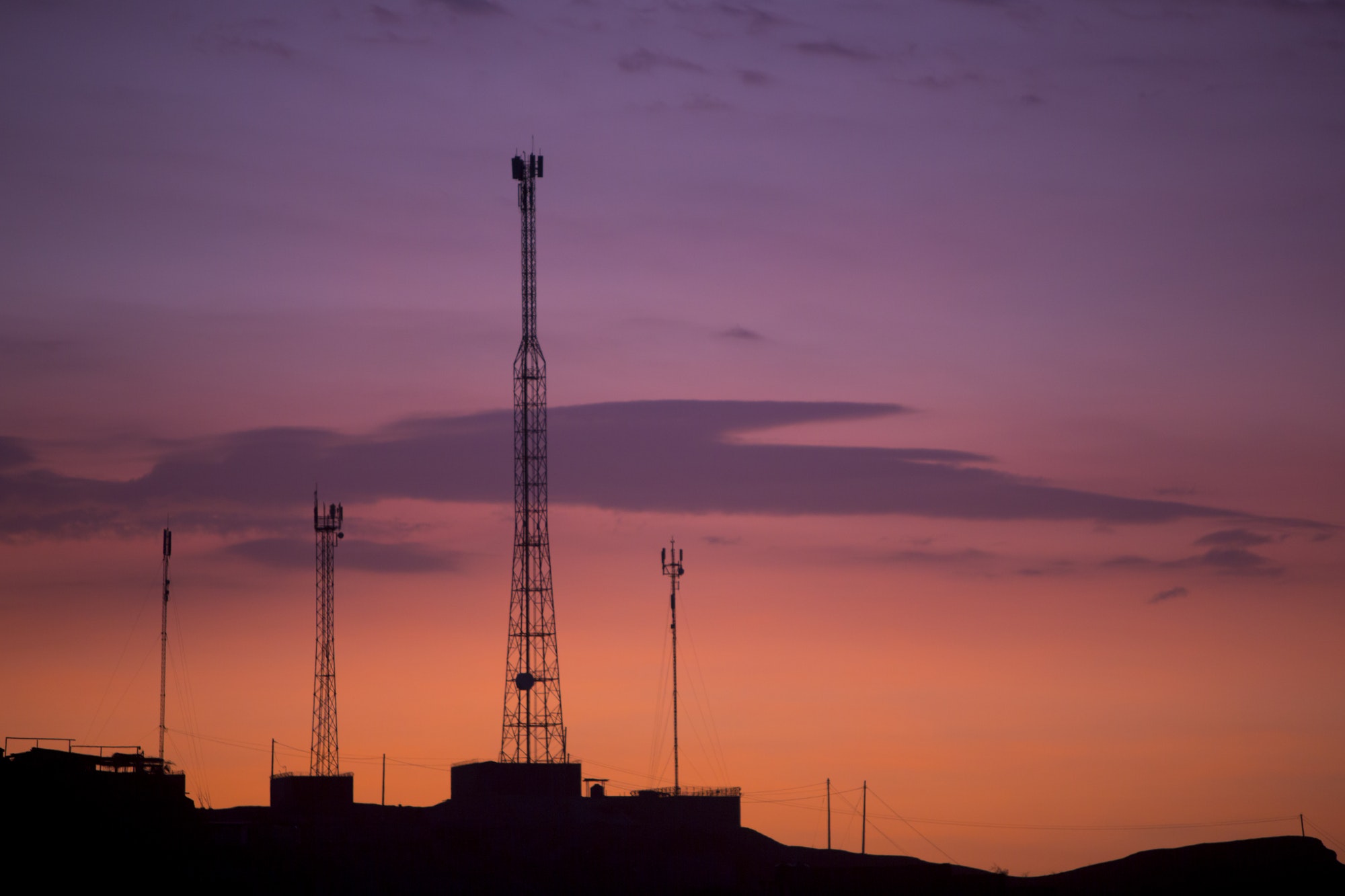
When locating a wireless cell tower location, it is important to provide an accurate latitude and longitude of the antenna in order to identify the correct antenna on the property. Simply providing the lat/long of the physical address and not the exact location of the antenna can often make it much harder to find; therefor causing delays in responses for site negotiations or easement conversions.
Here are a few quick steps on how to accurately find the correct latitude and longitude for your wireless cell tower.
Step 1: Visit Google.com/maps
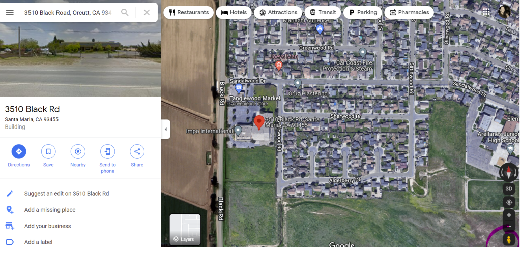
Step 2: Enter in the physical address of the location
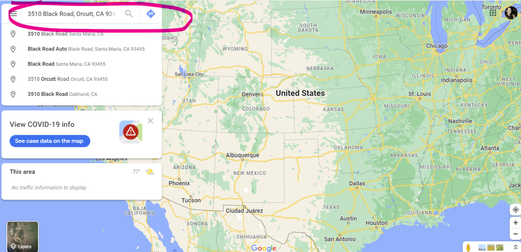
Step 3: Switch to Satellite view. If you can identify the location of the tower through the satellite view, skip to step 5.
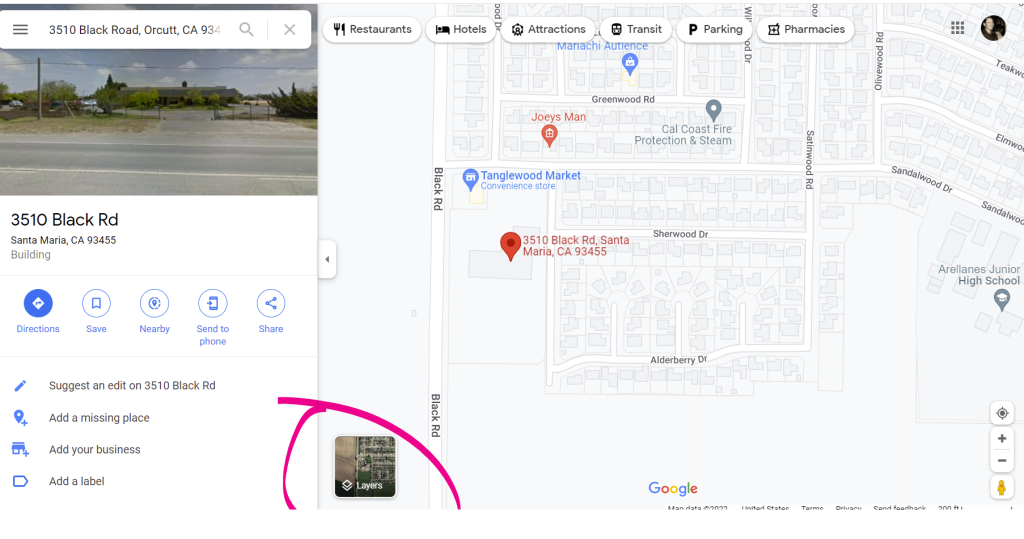
Step 4: If you’re unable to identify the tower location, drag the person icon in the bottom right of the screen next to the closest road near the property (or zoom in as far as you can on the site) to activate street view. Once you’ve identified the tower location, zoom out back to satellite view.
Step 5: Hover over the location of the tower and right click. The coordinates will pop-up at the top of the menu bar. Click on the coordinates to copy to your clipboard.
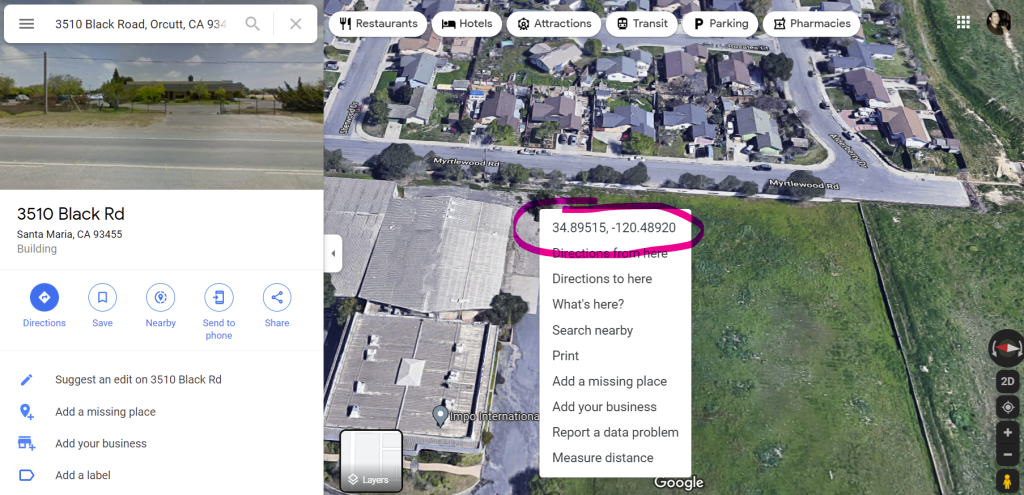
Step 6: Paste the details into your form submission. The first number set will be the latitude coordinates and after the comma will be the longitude coordinates which starts with a negative number.

If you’re still having issues finding the correct Latitude/Longitude coordinates of a Cell Tower, reach out to our team for help. Goodluck!
